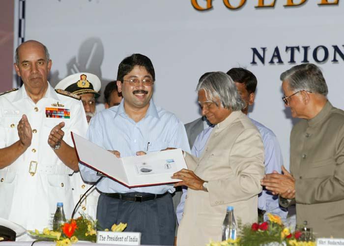
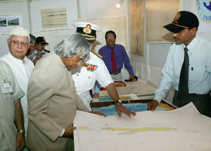
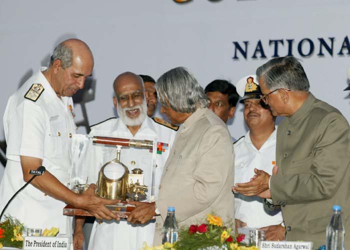
Address at the Golden Jubilee Celebrations of National Hydrographic Office, Dehradun
Dehradun : 01-06-2004
Hydrography and its multi dimensions
I am delighted to participate in the Golden Jubilee Celebrations of the National Hydrographic Office. My greetings to all the Officers and Staff of this Office who have been working on executing the vital task of systematically conducting hydrographic surveys, nautical charts and maritime safety maps in the sea areas surrounding India. I have been informed that over the years our entire coastline of around 7000 kms have been surveyed by the team of National Surveyors resulting in the creation of valuable database. This includes a number of ports, harbours, the island territories and their approaches. The nautical charts and allied publications produced by NHO have been of immense use in ensuring safe navigation at sea and also useful in the design of offshore and coastal development projects.
Ocean - a National Treasure
As you are aware oceans are extremely important for the social, political and economic development of a nation. Oceans possess living and non-living resources. Poly-metallic nodules in deep waters, placer deposits, heavy sands containing thorium, molybdenum and thorium, deposits of phosphorites and calcite etc., are few examples of nonliving resources. Efforts are being made to locate hydrocarbon resources in deep waters. One of the important resources in the East and West Coast is Methane Hydrate deposits, which are expected to be available at a depth ranging from 400 ? 700 metres below the seabed. Seismic studies have shown high probability of existence of these deposits. At present there is a National Gas Hydrates Programme, which is working in an integrated mission to locate the Methane Hydrate deposits. It is a complex technological challenge as it involves high pressure technology transportation. NHO can participate in this programme by providing bathymetric or any mapping process and sound ranging support for precise detection of the deposit areas.
Efficient management of ocean resources and conduct of trade through sea route are wholly dependent on continued availability of updated reliable hydrographic data. This is where accurate and detailed nautical charts are important for economic development. Presently a new type of demand for sea water is emerging through the establishment of large scale desalination plants for meeting the drinking water shortage of few large cities of our country. Thus, I see a very important role for NHO in promoting sustainable development both at the sea and in our exclusive economic zone and along the ecologically fragile coastal zone and island territories.
Islands our wealth
There are few habited and large number of uninhabited islands of India in the Bay of Bengal and Arabian Sea. There is a need to continuously update our island boundaries and their dynamically changing contents. These islands can be characterized into three types : (1) Islands of strategic importance (2) Islands of economic importance and (3) Bio-diversity islands; and any combination of the above three. At this point, I would like to recall my own experience.
A tiny island transforming into a missile launch complex
In October 1993, the development of Prithvi missile was almost over. However, the Army desired to have a confirmatory test, on a land range, to validate Circular Error Probability (CEP). Our efforts to conduct the tests in our desert range could not take off due to range safety problems. To overcome this we were looking for an uninhabited island in the Eastern coast. On the hydrographic map supplied by Navy, we saw a few islands in the Bay of Bengal off Dhamra (Orissa coast) indicating that there was some landmass. Our range team consisting of Dr. S.K. Salwan and Shri V.K. Saraswat hired a boat from Dhamra and went in search of the island. On the map these islands were marked as ?long wheeler?, ?coconut wheeler? and ?small wheeler?. The team carried a directional compass and proceeded on the journey. They lost their way and could not locate the Wheeler Island. Fortunately, they met few fishing boats and asked them for the route. The fisherman did not know about the Wheeler Island but they said there was an Island called ?Chandrachood?. They thought that this could be the Wheeler Island. They approximately gave the direction for proceeding to Chandrachood. With this help the team could reach the Chandrachood Island, which was later confirmed as Small Wheeler Island. By this time it was late in the evening and it was dark.
The boatman refused to move in the night and the team had to stay in the Small Wheeler Island in the boat for the night. Next morning the team came back to Dhamra. On physical survey of the three Islands it was found that the long wheeler island had eroded over a period of time and was not useful for range activities. In view of this we chose small wheeler, which had adequate width and length required for range operations. The team also found some signs of boats from other countries visiting the small wheeler island. A study of the hydrographic data of number of years indicated the erosion characteristic of the island. After taking over the islands from the Orissa Government for range activities, we created permanent bunds on the periphery of the selected islands to prevent the future erosion. This one tiny island has transformed into a world class missile range complex. Hence, every island of ours needs periodical survey and based on this survey, we have to protect our island.
Islands of economic importance
The survey of islands of economic importance should lead to the development of certain islands for promoting tourism. Once the tourism potential is established, it would need development of the tourist infrastructure to enable functioning as a wealth generator for the nation. Also there will be a need for advising the tourism department on perimeter protection of these islands to ensure prevention of erosion leading to sustainable tourism development. This we have done in the Wheeler Island complex, otherwise the useful area would have been reduced.
Islands of biodiversity
There are certain small islands which have inherent biodiversity potential that have to be further developed. These islands must be separately surveyed and the soil characteristics should be established for their suitability of developing certain species of herbs and medicinal plants. The biodiversity parks could be specifically used for growing the rare herbal species of Indian origin. These parks can also be developed for ecological and tourist importance. A unique forest can be developed in uninhabited islands. For example, the Andaman Padauk wood is well known as a structural material. I used it for the propellers of hovercraft. Constant updation of hydrographic data by NHO is essential for preserving the flora and fauna of the islands.
NHO and its missions
I am delighted to know the contribution of NHO has increased fourfold during the last 50 years in the area sea mapping and other tasks. This has been achieved through the use of state-of-the-art surveying system such as multi beam swath eco-sounder, digital site scan sonar, differential global positioning systems, utilization of aerial photographs and satellite imagery and transition from manual to digital data logging.
Some of the notable achievements in shipping port and water way development include the survey, demonstration and charting of the deep water route in the Gulf of Kutch enabling movement of crude oil petroleum products vessels from multiple Indian ports. Also, you have contributed in the establishment of nine sea ports through your hydrographic survey and many more you will contribute in the years to come.
The United Nations Convention on the Law of the Sea (UNCLOS) was enacted in 1994 and it was ratified by India in June 1995. This has resulted in the addition of 2 million square kilometers of sea area to our national jurisdiction in the form of exclusive economic zone with full rights for economic exploitation. For claiming this additional area NHO has made important contribution in the form of providing survey data. There is a need to frame rules for Governance and Regulations of the development activities within the maritime zones of India consistent with national security needs. We have to map our maritime zones with its living and non-living resources as a first step towards sustained economic development in the sea areas. Department of Ocean Development, Surveyor General of India and NHO may have to work together in evolving a national plan for implementing this economic development.
Accidents at sea could have devastating impact on the environment cutting across the national frontiers and national economy. Navigational safety at sea therefore calls for international co-operation for its success. At the grass root level this implies easy availability of authentic hydrographic data products and services to all mariners and other users of this data. Hence, for protecting our territory and its surrounding environment we should ensure collection and dissemination of reliable hydrographic data in our own sea areas and also our maritime neighborhood. Such hydrographic co-operation can be achieved only through Government-to-Government level pro-active measures.
One major problem in the sea is the oil slick caused due to spillage from tankers and ship accidents. The slick can cause substantial damage to the living and non-living wealth of the seas. The Hydrographic Office should carry out periodic survey of the ocean to determine the existence of slick on and under the surface. This information should be provided to marine biologists for selecting and administering oil eating or oil degrading microbes having particular affinity for consuming hydrocarbon based products. This is essential for conserving the living and non-living resources of our seas.
Technological Performance
I am happy to note that the National Hydrographic Office has assimilated the new hydrographic technologies and techniques. They have constantly trained the personnel and kept them updated with the latest knowledge in the field. This has enabled the department to meet the variety of demands of maritime development of our nation. To further enhance the technological capabilities, NHO may undertake measurement of direct acoustic parameters such as acoustic transmission loss and ambient noise reverberation in addition to the measurement of ocean depth, type of sea bottom, temperature and salinity. Simultaneously we should also enhance our hydrographic co-operation in the region between the littoral states by exchanging hydrographic information so that a data-base of various countries on seas is generated as part of international cooperation on the sea route and sea safety.
Conclusion
The future vision for NHO lies in establishing multi capability Indian Navy Surveying Ships for wider development role, innovation in surveying procedure based on the new generation census, five yearly updates surveys for ports approaches and ecologically sensitive areas and supply of updated editions of digital navigation charts using print on demand technology through online marketing.
Today, expertise, infrastructure and data collection platforms are widely distributed under different organizations such as National Institute of Oceanography (NIO), Geological survey of India (GSI), National Institute of Ocean technology (NIOT), Fisheries Survey of India, Oil and Natural Gas Corporation, Naval Physical and Oceanographic Laboratory etc. There is a need to have an integrated approach among all participating organizations to promote ocean safety and ocean development. NHO can play an important role in achieving this due to its long-standing experience in the area and international exposure. This will enable cost effective quality data collection and dissemination with minimum infrastructure.
When I was talking to sea port authorities, I was told that large ships above 1 lakh ton capacity do not visit Indian ports due to lower draught (12 to 14 metres), whereas these ships need 18 to 22 metres draught. I was told, Singapore and Colombo have this natural draught availability and through hydrographic survey, they maintain this draught availability continuously by suitable dredging. I find that for the available 7000 kms of coast line, we do not have higher draught availability conditions in any of our ports. I would like NHO to consider this as a national task and locate an area where such draught in our coast line is available or can be made available for berthing high tonnage capacity ships, which could be a large wealth generator for the nation.
On occasion of Golden Jubilee Celebrations, I wish the members of National Hydrographic Office community success in all their future missions.
May God bless you.


